Aerial Architectural Rendering: Site Layout, Context and Scale
An aerial render shows a whole site in one image: layout, landscape and context. When to use it, which angle to choose and what to prepare.

A single eye-level image of a housing development, campus or hotel complex shows only one corner of the project. Buyers and investors want to see the big picture first: how are the buildings laid out, where is the green space, how are parking and roads resolved, and what is around the site? Aerial architectural rendering answers these questions in one image. In this article we explain when a bird’s-eye view is needed, what each camera angle communicates and what to prepare for a good site plan presentation.
What is aerial architectural rendering?
An aerial render shows a project from above, from a camera position high off the ground. Eye-level images let you experience a space from within; an aerial image explains the layout, the relationships between buildings and the project’s connection to its surroundings. It becomes the lead image of the presentation, especially on projects with several buildings, large landscaped areas or phased construction.
Unlike a real drone shot, it can show a building that does not exist yet. Even while the plot is empty or construction is under way, the finished project can be seen with its landscaping and lighting. If needed, a drone photo of the existing surroundings and the model of the new project can be combined into a single image.
Camera angle: straight down or oblique?
Top-down (plan) view
The camera looks almost straight down. The image resembles a colored site plan; building footprints, roads, green areas and amenities read to scale. It is well suited to site plan presentations and to explaining layout decisions.
Oblique aerial view
The camera looks down from a height but at an angle. From here both the layout and part of the facades are visible, so building heights, massing relationships and proportions to the surroundings are easier to understand. This is the angle used most often in sales and marketing images.
With perspective cameras, objects near the edges of the frame can stretch, so key buildings should be kept close to the center and the lens should not be overly wide.

Scale and context: the real strength of an aerial view
In an aerial image, what draws the eye is often the surroundings more than the building itself. That is why the context has to be built correctly:
- Terrain: Slopes, level changes and retaining walls should match reality; a building placed on flat ground can be misleading.
- Neighboring buildings and roads: Modeling the surrounding buildings, even as simple masses, shows the project in its real context.
- Landscape: Tree species, green areas, walking paths and playgrounds communicate the quality of life on the site. We cover how landscaping is planned in how landscape designs are made.
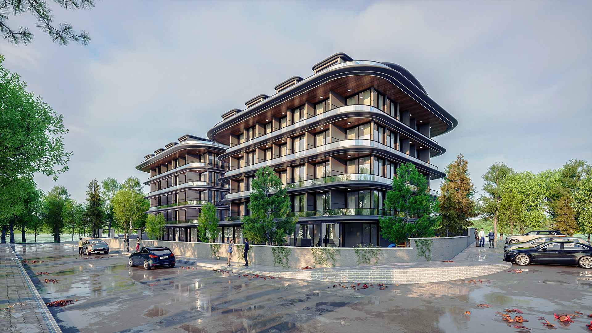
- Scale elements: Cars, people and street furniture make it easier to grasp the size of the development, even from above.
Light, shadow and time of day
From above, shadows are the most important clue for reading building volumes and the spaces between them. A time when the sun is directly overhead shortens shadows and flattens the image; morning or afternoon light makes the masses stand out. If the sun direction is set to the project’s real location, the image can also answer questions such as which garden gets sun and when. An aerial view set in the evening shows how the site lives at night, with its road, landscape and building lights.
Who benefits from aerial rendering?
- Developers and contractors: In off-plan sales, it shows buyers the whole site, the position of each block and the shared amenities. For this process, read our article on 3D visualization for off-plan sales.
- Architects: It makes layout decisions clear in competitions, client presentations and approval meetings.
- Municipal and institutional presentations: It opens up the project’s impact on its surroundings and its road and green-space connections for visual discussion.
- Hotel, campus and mixed-use projects: It shows how different functions relate to each other in a single frame.
Combined with camera movement, an aerial frame can also become an impressive opening shot. See our article what is architectural animation and how is it made.
Preparing for an aerial render
How many images you need depends on the size of the project. For a small villa, a single oblique aerial frame is often enough. On a multi-block development, an image of the overall layout, a closer frame focusing on the amenities or entrance, and a top-down view that makes the plan easy to read together give a clearer story. If camera positions are agreed before modeling starts, only the visible areas need detailing and the process becomes simpler.
An accurate aerial image needs a scaled site plan, a survey map or terrain levels, the building drawings, a landscape plan and any available information on the surroundings. On phased projects, decide at the start which phase will appear in the image. You can find examples of housing developments in our residential complex designs article.
Frequently asked questions
What is the difference between an aerial render and a site plan?
A site plan is a two-dimensional technical drawing. An aerial render shows the same layout in three dimensions and realistically, with materials, light, shadow and landscaping.
Is an aerial image enough on its own?
Usually not. The aerial frame explains the layout, while eye-level frames convey the experience of the place; together they present the project fully.
Should the surrounding buildings be modeled too?
Yes, at least as simple masses. An aerial image without context can misrepresent the project’s scale and location.
Looking for aerial images for your housing development, campus or masterplan? Browse our architectural visualization projects or send us your drawings on WhatsApp, and we will get back to you with scope and timing.